Street Sign Improvement Project

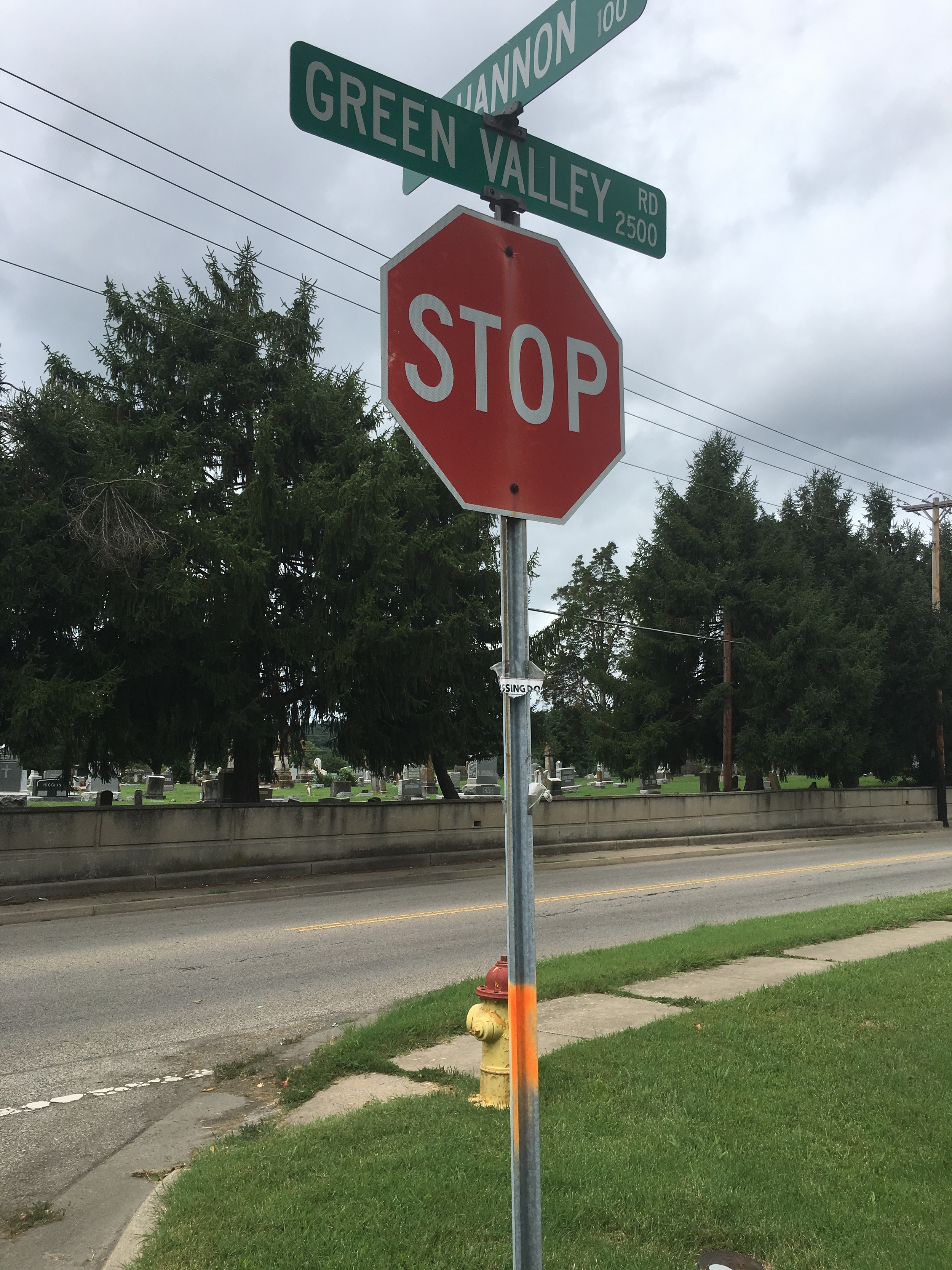
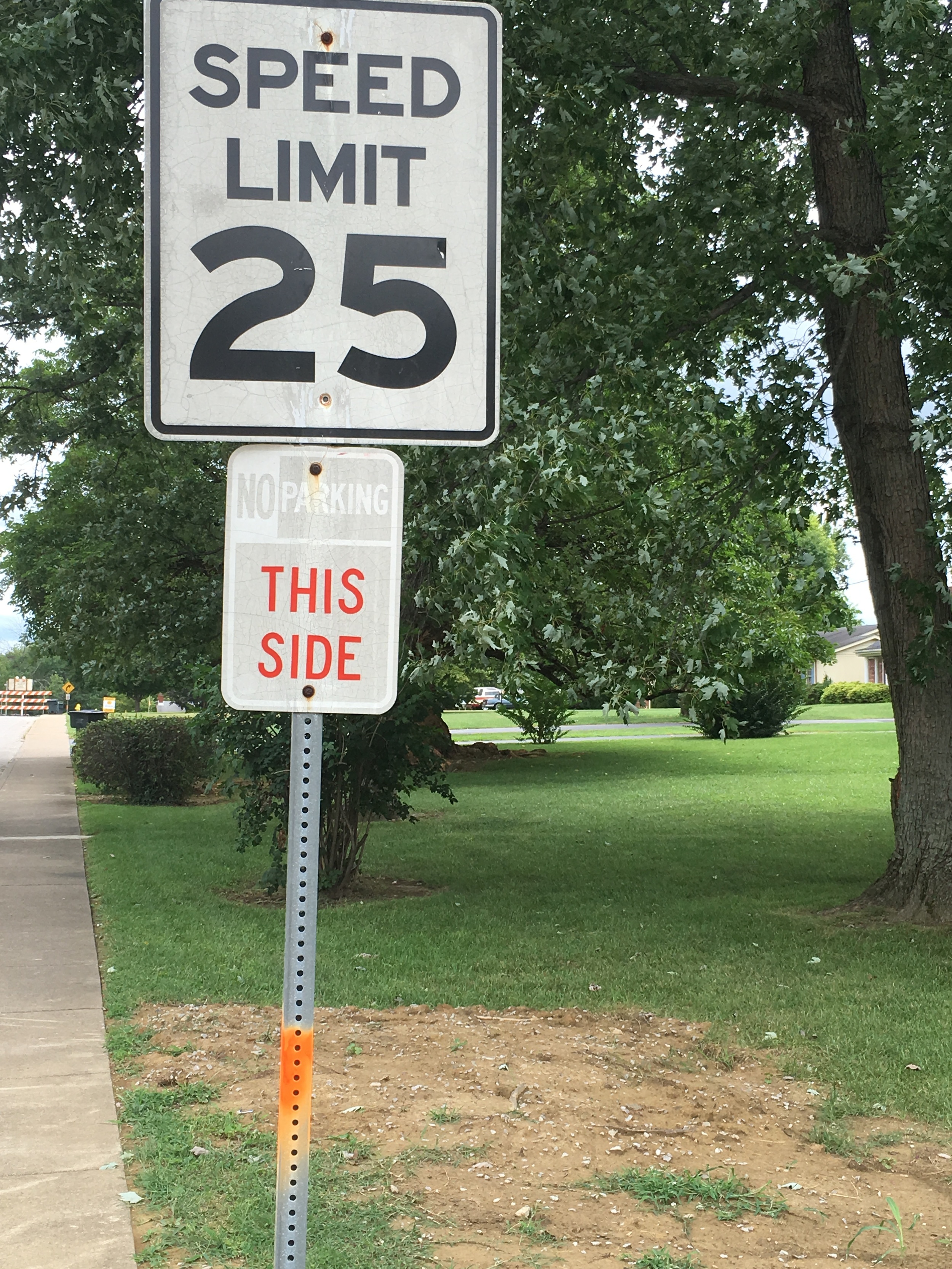
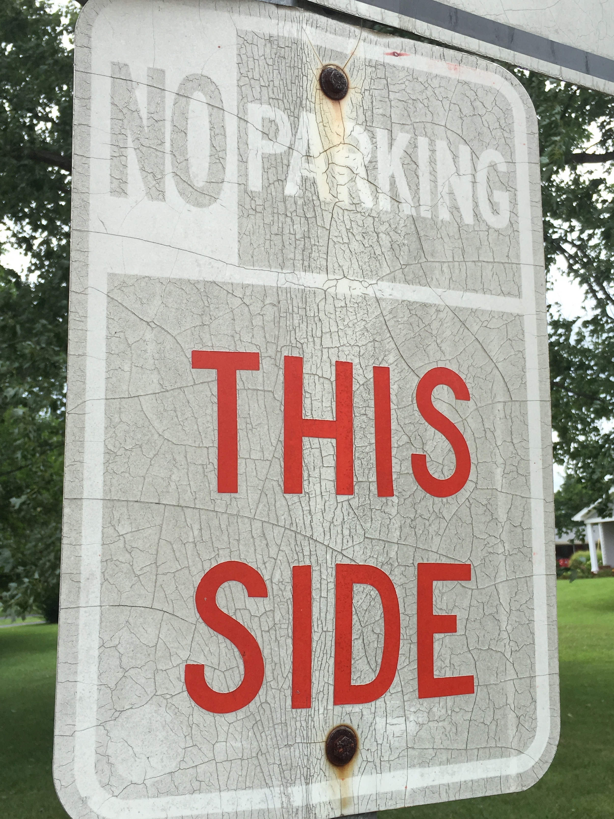
An old and fading sign and street post is marked for replacement.

An old and fading sign and street post is marked for replacement.

Noticed any of these around town? Over the past few days, crews have been busy marking certain street signs and posts with an orange marker. 

These signs are being marked for upgrades in order to meet new retro-reflectivity standards. A total of nearly 1800 new signs will be replacing old and faded regulatory and directional signs. Signs to be replaced include stop signs, street names, speed limits, etc.

These new signs will help increase clarity and safety for both pedestrians and drivers. The installation of the new signs is scheduled to begin in late August and should be completed by the end of October.

Pardon our Dust - Roadways Under Construction

Pardon our dust! Numerous roadways are simultaneously under construction in New Albany to help motorists and pedestrians travel safer. To help keep you informed and up-to-date, we've put together a list that explains each project.

Spring Street

Spring St. and Silver St. Intersection

Spring St. and Silver St. Intersection

Spring St. and Thomas St. Intersection

Spring St. and Thomas St. Intersection

This safety and roadway improvement project received special federal Highway Safety Improvement Program grant money to help correct the roadway. To read the full details of the project, please click HERE.

This project began yesterday morning (Monday, July 11th), and experienced heavy congestion through rush hour. To combat this, we have adjusted the signal timings to allow smoother access moving East-West along Spring Street. We will continue monitoring the traffic in this area and adjusting signals as necessary to make it as smooth as possible during construction. 

Bono Road

Bids were opened at today’s Redevelopment Commission for the full reconstruction of Bono Road. Construction has been ongoing in the area, as utility companies have mobilized to repair and re-run lines before the road construction begins. Due to the base failure, many potholes and cracks had opened in the roadway, which has now prompted the full-depth reconstruction and re-paving of the roadway. This project is estimated to be completed in mid-November. Travel will be limited to local access only. For all others, a detour will take motorists from Green Valley Road to Daisy Lane to Graybrook.

McDonald Lane

McDonald Lane near Charlestown Road

McDonald Lane near Charlestown Road

McDonald Lane facing Grant Line Road

McDonald Lane facing Grant Line Road

Phase 1 of the project, from Charlestown Road to Hickory Vale is currently underway. This phase calls for a full complete reconstruction of the pathway. During this phase, curbs, gutters, and complete stormwater system are being added, new traffic signals, along with sidewalks and new road reconstruction and paving. This project is expected to be complete in the Fall of 2017.

From August 2nd through August 4th, the railroad crossing on McDonald Lane (near Bruce Fox) will be closed so that the railway can complete a full replacement of the crossing.

5th and Elm

After digging up the intersection, it was discovered that water was escaping the stormsewer system during heavy rains. This caused nearby soil to wash away, and the roadway to begin sinking, forming the "dip" in the road. Over time, this also caused the sewer and stormwater lines to shift. This project will repair those lines, and repair the foundation of the roadway all the way to the bedrock to ensure that the system will not move in the future.

Update on City-wide Paving Project

Over the past month, crews began replacing sidewalk ramps to meet ADA standards ahead of scheduled city-wide paving.  Paving is scheduled to begin July 25th. 

Finances and Operations on Track and Under Budget

The City of New Albany continues to make progress in both the operations and finances of the City. The City continues to hold an A+ financial rating from Standard and Poor’s, and has maintained nearly five years of operations under budget. While maintaining the finances, the City has continued to invest in equipment, including a recently purchased fire ladder truck which firefighters recently used to help save a citizen’s life from a burning home. In addition, New Albany has also replaced the fire department’s training facility and has opened and remodeled fire houses to provide better protection for citizens.

NAFD Station #4 Ribbon Cutting on Daisy Lane.

NAFD Station #4 Ribbon Cutting on Daisy Lane.

Crews work to repaint traffic signage.

Crews work to repaint traffic signage.

Earlier this year, a renegotiated contract with trash services provider Ecotech allowed for increased personnel to be allocated to the street department. This increased personnel has been hard at work on beautification and street improvement projects, like painting, pothole repair, and street sign replacement and repair.

Recent investments have also been made to the Flood Control District. Nineteen pumps and motors were repaired or replaced, marking the first major improvements made to the project since its completion in 1953.  

Last summer, New Albany completed construction on the City Square expansion at the corner of Market and Bank streets. Not only will this provide much-needed space to the growing and thriving Farmer’s Market, but the site will be used for other community events as well, including the Boomtown Ball and Festival and the joint Harvest Homecoming-New Albany Restaurant and Bar Association’s Biers on Parade event.

New Albany’s final stretch of the Ohio River Greenway Project is set to begin this summer. When finished, this project will connect the three communities of New Albany, Jeffersonville, and Clarksville through one continuous, riverfront path that can be utilized by pedestrians and cyclists.  

The 3rd Phase of the Ohio River Greenway Project will connect through the Loop Island Wetlands and the former Moser Tannery property.

The 3rd Phase of the Ohio River Greenway Project will connect through the Loop Island Wetlands and the former Moser Tannery property.

Work also recently began on improvements to both Fairview and West Haven Cemeteries. The project calls for shoring up and repairing the decorative stone retaining wall, replacing and installing new metal fencing that will match the historic iron, the installation of a new arched gateway entrance at West Haven, and milling and resurfacing roadways.

Additional infrastructure improvements include numerous changes to local roads and streets. McDonald Lane is being expanded and improved to allow for better traffic flow. Spring Street in downtown is receiving major improvements at dangerous intersections to help improve both safety, traffic, and pedestrian accessibility.   

Road Segments Receive Redesign to Improve Safety

UPDATED 7/7/16: Construction on this project will begin on Monday, July 11th. At the start of construction, the west bound lanes will be closed. Temporary pavement markings will be placed on the existing east bound lanes to allow for one lane of traffic in each direction, and traffic will be shifted. Work on the west bound lanes is anticipated to take one month to complete. After work is completed on the west bound lanes, traffic will be switched over to the newly-completed west bound lanes (again one lane of traffic in each direction) and the east bound lanes will be closed while work is completed. The entire project is estimated to be complete by October 1. All cross streets are anticipated to remain open throughout the projects duration.

According to the Kentuckiana Regional Planning and Development Agency (KIPDA), two street segments (centered around one intersection) in the City of New Albany have been ranked among the highest prone to accidents in southern Indiana.  

THE INTERSECTION: SPRING STREET & SILVER STREET

One segment of Spring Street, from Woodrow Avenue to Silver Street, ranked as high as #2 on KIPDA’s “High Crash Segments" study.  Another nearby segment, Spring Street (from Silver Street to Vincennes), came in at #17 on the “High Crash Segment” rating.  Over a 5 year period, over 100 crashes were recorded along this stretch of roadway, with most accidents occurring around the intersection at Silver and Spring Street.  It was determined that most of the crashes were attributed to the lack of exclusive left turn lanes on Spring Street.  

THE CURRENT CONFIGURATION OF THE SPRING STREET & SILVER STREET INTERSECTION (NOTE THE SHARED LEFT-TURN LANES ALONG SPRING STREET).

THE CURRENT CONFIGURATION OF THE SPRING STREET & SILVER STREET INTERSECTION (NOTE THE SHARED LEFT-TURN LANES ALONG SPRING STREET).

With no exclusive left turn lane, drivers are forced to slow (or even stop), sometimes unexpectedly, to turn out of the inside through lane.  When these drivers come to a halt unexpectedly, trailing motorists are either forced to try to stop their vehicle or abruptly switch lanes.  These types of situations can become hazardous quickly, usually lead to either a rear-end collision or a side-swipe/roadway runoff scenario.  

THE GOALS

The city focused on 4 main goals for this roadway improvement project:
1.    Reduce the high number of crashes that occur at the Spring/Silver intersection
2.   Reduce traffic speed
3.   Improve safety for pedestrians and bicyclists
4.   Retain capacity for the existing traffic counts, but control substantial traffic increases

The city applied for and received special federal Highway Safety Improvement Program grant money through the Indiana Department of Transportation (INDOT) to help correct these areas and other roadway segments.  The grants will provide and pay for 90% of the cost for the improvements, allowing the city to improve the safety for motorists and pedestrians along these segments at a fraction of the total cost.

THE COMING IMPROVEMENTS

PROPOSED REDESIGN FOR THE SPRING AND SILVER INTERSECTION.

PROPOSED REDESIGN FOR THE SPRING AND SILVER INTERSECTION.

PROPOSED REDESIGN FOR THE SPRING STREET & THOMAS STREET INTERSECTION, WHICH LEADS UP TO THE SPRING & SILVER INTERSECTION.

PROPOSED REDESIGN FOR THE SPRING STREET & THOMAS STREET INTERSECTION, WHICH LEADS UP TO THE SPRING & SILVER INTERSECTION.

1.    Reduce the high number of crashes that occur at the Spring/Silver intersection
In order to achieve this, exclusive left turn lanes will be added with a new signal.  This is a crucial component to improving the safety of this corridor and reducing the high number of crashes, and should reduce the number of rear-end and side-swipe accidents.  The new signal will also be able to determine if there are longer queue lines for certain lanes, and then adjust the timing of its signal to help get drivers to their destinations quicker.

2.    Reduce traffic speed
This project will reduce both the number of traveling lanes and the lane-width, both effective features that lead to reduced traffic speed.

3.    Improve safety for pedestrians and bicyclists
The current roadway also offers little support for alternative modes of transportation (no bike lanes, limited pedestrian support, etc.).  The city also wished to address these concerns with this safety project.  These improvements will bring bike lanes to the area, with green highlighting in certain areas to improve visibility.  New ADA-accessible ramps will be installed throughout the project area, and the new signal includes pedestrian indicators, making it easier and safer to travel on foot or bike.

4.    Retain capacity for the existing traffic counts, but control substantial traffic increases
The proposed roadway will accommodate current traffic counts, including both truck and passenger vehicle traffic.  However, with the bridges project nearing completion, and New Albany having the only un-tolled bridge, there is a growing concern that New Albany streets will be used as a “pass-through” for those wishing to avoid the toll.  This project will control substantial traffic increases in an effort to head-off this kind of response to the bridges project.

The state of Indiana is scheduled to approve construction of this project in the Spring of 2016.